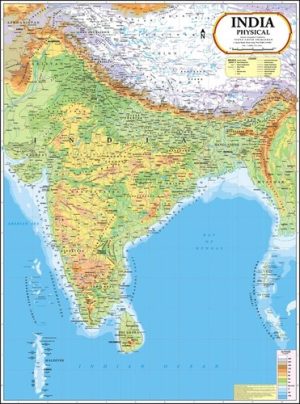
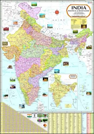
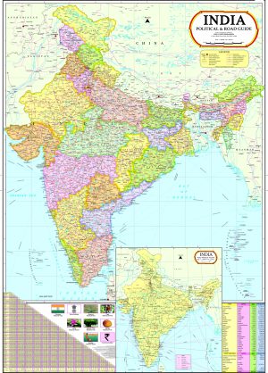
India Map with new Jammu & Kashmir Boundary
₹275.00 ₹270.00
99 in stock
99 in stock
- Material Laminated
- Dimensions 70 x 100 Centimeter (cm)
- Shape Multicolour
Description
Size : 100 X 140 cm (Languages Available : English, Hindi, Gujarati, Marathi)
Size : 70 X 100 cm (Languages Available : English, Hindi, Gujarati, Marathi, Malayalam, Kannada, Tamil, Telugu, Odia, Bengali, Assamese, Punjabi, Urdu, Sinhalese)
Size : 50 X 70 cm (Languages Available : English)
- Certified by Survey of India, Dehra Dun
- Latest International Boundaries
- Theme: Political
- Country Capitals and Important Towns; Road network; Sea routes; etc.
- Multicolour printing on 80 GSM Map Litho paper
- Thermally Laminated with 30 micron thick best quality polyester film on both sides
- Fitted with best quality plastic rollers at the top and at the bottom with hanging arrangement
- Packaging Dimensions : 69 x 5.5 x 5.5 cm
Owing to our rich industrial experience, we have been engaged in offering superior quality World Political Map. Elegantly designed by our creative team of designers using high grade raw material and advanced machines, this map is available in plethora of sizes and Languages as per the specific needs of clients. Widely demanded in schools, archaeological, colleges, and many other places for providing knowledge regarding India like capitals, roads, rivers, sea routes, etc. Our clients can avail this World Political Map from us at the most affordable rates.
Features:
- Perfect finish
- Tear resistant
- Colorful pattern
- Durability
2 reviews for India Map with new Jammu & Kashmir Boundary
You must be logged in to post a review.
Related Products
Related products

VIDYA CHITR PRAKASHAN
We are renowned Manufacturers, Suppliers and Exporters of Educational Maps, Charts, Globes, Educational Models and other Educational Aids.
Contact Info
-
VIDYA CHITR PRAKASHAN
4226-B/1, Ansari Road, Daryaganj, New Delhi-110 002. India - vcpdelhi@gmail.com


sawan.work1 –
High quality map
sawan.work1 –
Highly recommended!